Grays Knob, Kentucky | |
|---|---|
 Grays Knob  Grays Knob | |
| Coordinates: 36°48′24″N 83°18′36″W / 36.80667°N 83.31000°W | |
| Country | United States |
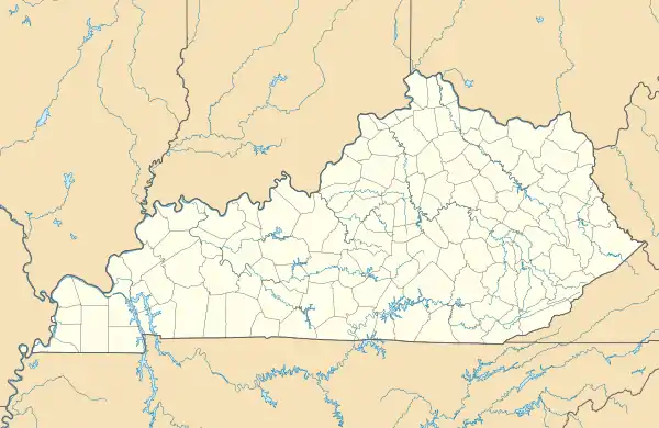
| State | Kentucky |
| County | Harlan |
| Elevation | 1,299 ft (396 m) |
| Time zone | UTC-6 (Central (CST)) |
| • Summer (DST) | UTC-5 (CST) |
| ZIP codes | 40829 |
| GNIS feature ID | 493217[1] |
Grays Knob is an unincorporated community and coal town in Harlan County, Kentucky, United States.
A post office was established in the community in 1916, and named for a local hill.[2] It is located just south of the city of Harlan.
References
- ↑ U.S. Geological Survey Geographic Names Information System: Grays Knob, Kentucky
- ↑ Rennick, Robert M. (1987). Kentucky Place Names. University Press of Kentucky. p. 124. ISBN 0813126312. Retrieved April 28, 2013.
Municipalities and communities of Harlan County, Kentucky, United States | ||
|---|---|---|
| Cities | 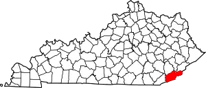 Location of Harlan County, Kentucky | |
| CDPs | ||
| Other unincorporated communities |
| |
| Ghost towns | ||
This article is issued from Wikipedia. The text is licensed under Creative Commons - Attribution - Sharealike. Additional terms may apply for the media files.