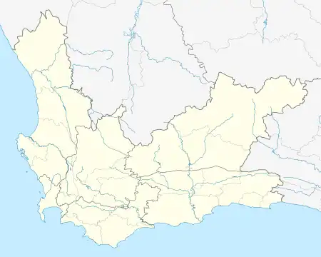
Gouritsmond | |
|---|---|
| Nickname: "Die Mond" | |
 Gouritsmond  Gouritsmond | |
| Coordinates: 34°20′59″S 21°52′43″E / 34.34972°S 21.87861°E | |
| Country | South Africa |
| Province | Western Cape |
| District | Garden Route |
| Municipality | Hessequa |
| Area | |
| • Total | 3.24 km2 (1.25 sq mi) |
| Population (2011)[1] | |
| • Total | 515 |
| • Density | 160/km2 (410/sq mi) |
| Racial makeup (2011) | |
| • Black African | 5.3% |
| • Coloured | 54.5% |
| • Indian/Asian | 0.4% |
| • White | 39.5% |
| • Other | 0.4% |
| First languages (2011) | |
| • Afrikaans | 93.0% |
| • English | 3.3% |
| • Tswana | 1.4% |
| • Other | 2.3% |
| Time zone | UTC+2 (SAST) |
| Postal code (street) | 6696 |
| PO box | 6696 |
| Area code | 028 |
Gouritsmond is a small coastal town, located within the Hessequa Municipality, of the Garden Route, South Africa. The region in which the town is located is branded as The Explorer's Garden Route. In 2011, Gouritsmond had 515 inhabitants in 206 households.
Gouritsmond has few facilities of note, apart from a strong coastal tourism profile, characterized by the warm Indian Ocean, the magnificent Gouritz River and a diverse offering of Fynbos.
The town has of late, become a popular coastal wedding destination, with Casa da Baleia, The Gouritz Valley Wedding Venue and Gourikwa Nature Reserve as top Garden Route venues.
Gouritsmond has a strong angling profile and is regarded as a fishing mecca within South Africa.
The Gouritsmond Caravan and Camping Resort is a popular accommodation facility and has accommodated the Whally Rally, a gathering of motorcycle enthusiasts from around the country.
Description
The landscape surrounding the village is a section of the coastal plains of the Cape and is characterised by overgrown sand dunes. Its name is derived from the mouth of the Gouritz River, which flows into the ocean here.
As an official administrative settlement, Gouritsmond is a young settlement, although European immigrants have been farming in the area since 1730. In the process, the present settlement area was a fishing ground and was therefore called The Fisheries. Gouritsmond was granted town status in 1915 and changed its name to Gouritzriviermond between 1915 and 1966 and finally to the current version.
Landmarks
In Gouritsmond, tourism offers form an essential economic basis for the inhabitants. The village is situated on a sea beach and a large sandbank (barre) in the estuary of the river. Typical activities here include sea fishing, surfing and wildlife watching. There are four designated hiking routes of varying lengths.
The Gouritsmond Conservation Trust, a regional conservation group, provides information about the sensitive plant communities of the fynbos biome with the support of the local community. There is information about this at the hiking trails.
Traffic
The town can be reached by road via the 26-kilometre R325 regional road, which branches off the N2 national road between Albertinia and Mossel Bay. A bridge over the Gouritz River creates a rural road connection to Mossel Bay. Originally the village was only accessible via a gravel road with a total of 25 gates along the way. In 1938, a tarmac road was built, which has since contributed to quick accessibility.
References
- 1 2 3 4 "Main Place Gouritsmond". Census 2011.
.svg.png.webp)