Gemmano | |
|---|---|
| Comune di Gemmano | |
 | |
 Coat of arms | |
Location of Gemmano | |
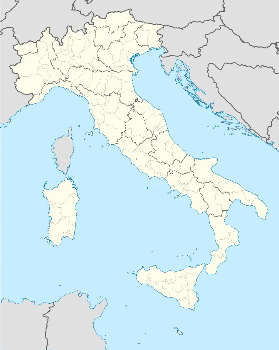 Gemmano Location of Gemmano in Italy 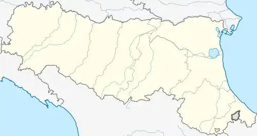 Gemmano Gemmano (Emilia-Romagna) | |
| Coordinates: 43°54′N 12°35′E / 43.900°N 12.583°E | |
| Country | Italy |
| Region | Emilia-Romagna |
| Province | Rimini (RN) |
| Frazioni | Onferno, Zollara, Marazzano, Farneto, Villa. |
| Government | |
| • Mayor | Riziero Santi |
| Area | |
| • Total | 18.85 km2 (7.28 sq mi) |
| Elevation | 404 m (1,325 ft) |
| Population (31 May 2022)[2] | |
| • Total | 1,119 |
| • Density | 59/km2 (150/sq mi) |
| Demonym | Gemmanesi |
| Time zone | UTC+1 (CET) |
| • Summer (DST) | UTC+2 (CEST) |
| Postal code | 47040 |
| Dialing code | 0541 |
| Patron saint | St. Sebastian |
| Saint day | 20 January |
| Website | Official website |
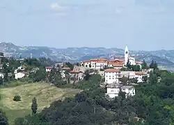
Gemmano (Romagnol: Zman) is a comune (municipality) in the Province of Rimini in the Italian region Emilia-Romagna, located about 120 kilometres (75 mi) southeast of Bologna and about 15 km (9 mi) south of Rimini.
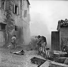
Shelling of German-held Gemmano in September 1944
Gemmano borders the following municipalities: Mercatino Conca, Montescudo-Monte Colombo, Montefiore Conca, San Clemente, Sassocorvaro Auditore, Sassofeltrio.
Sights include the sanctuary of Madonna di Carbognano, built on the ancient site of a God Pan temple.
The town was razed during the Battle of Gemmano, an engagement in World War II.[3]
References
- ↑ "Superficie di Comuni Province e Regioni italiane al 9 ottobre 2011". Italian National Institute of Statistics. Retrieved 16 March 2019.
- ↑ All demographics and other statistics: Italian statistical institute Istat.
- ↑ Susini, Daniele (6 July 2016). "Guerra sul confine orientale della linea gotica: il caso Rimini" [War on the eastern border of the Gothic line: The Rimini case]. Novecento.org (in Italian). doi:10.12977/nov129. ISSN 2283-6837. Retrieved 11 January 2024.
External links
This article is issued from Wikipedia. The text is licensed under Creative Commons - Attribution - Sharealike. Additional terms may apply for the media files.