| Gökçekaya Dam | |
|---|---|
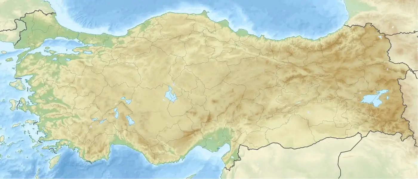
 Location of Gökçekaya Dam in Turkey | |
| Official name | Gökçekaya Baraji |
| Location | Eskişehir, Turkey |
| Coordinates | 40°1′58″N 31°00′59″E / 40.03278°N 31.01639°E |
| Construction began | 1967 |
| Opening date | 1972 |
| Operator(s) | State Hydraulic Works (DSİ) |
| Dam and spillways | |
| Type of dam | Arch |
| Impounds | Sakarya River |
| Height | 210 m (690 ft) |
| Length | 634 m (2,080 ft) |
| Reservoir | |
| Total capacity | 910 hm³ |
| Surface area | 20 km2 (8 sq mi) |
| Power Station | |
| Turbines | 3 x 92.8 MW Francis-type |
| Installed capacity | 278 MW |
| Annual generation | 562 GWh |
Gökçekaya Dam is 43 km (27 mi) north of Alpu town 45 km (28 mi) east of province of Eskişehir in central Turkey and located 60 km (37 mi) downstream of Sarıyar Dam on the Sakarya River which runs into the Black Sea. The Yenice Dam is located downstream.
There is a hydroelectric power plant, established in 1972, at the dam, with a power output of 278 MW (three Francis turbines at 92.8 MW each), generating an average 562 GW·h of hydroelectricity annually.
References
- State Hydraulic Works (DSİ), Turkey. "General information on Gökçekaya Dam, Turkey" (in Turkish). Archived from the original on 2009-11-21. Retrieved 2008-04-06.
External links
This article is issued from Wikipedia. The text is licensed under Creative Commons - Attribution - Sharealike. Additional terms may apply for the media files.
_Logo.png.webp)