| French Park New South Wales | |
|---|---|
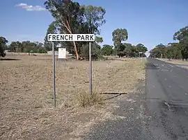 Entering French Park | |
 French Park | |
| Coordinates | 35°16′S 146°56′E / 35.267°S 146.933°E |
| Population | 17 (SAL 2021)[1] |
| Postcode(s) | 2655 |
| Elevation | 128 m (420 ft) |
| Location |
|
| LGA(s) | Lockhart Shire |
| County | Mitchell |
| State electorate(s) | Wagga Wagga |
French Park is a rural village community in the central east part of the Riverina. It is situated by road, about 8 kilometres east of Milbrulong and 15 kilometres west of Tootool.
French Park Post Office opened on 16 August 1884 and closed in 1966.[2]
French Park railway station
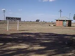
French Park - site of old railway siding
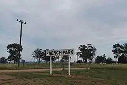
French Park Railway Station Sign
| Preceding station | Former Services | Following station | ||
|---|---|---|---|---|
| Milbrulong towards Oaklands |
Oaklands Line | Tootool towards The Rock | ||
Notes and references
- ↑ Australian Bureau of Statistics (28 June 2022). "French Park (suburb and locality)". Australian Census 2021 QuickStats. Retrieved 28 June 2022.
- ↑ Premier Postal History, Post Office List, retrieved 11 June 2009
Wikimedia Commons has media related to French Park, New South Wales.
This article is issued from Wikipedia. The text is licensed under Creative Commons - Attribution - Sharealike. Additional terms may apply for the media files.