Francisco de Orellana Airport | |||||||||||
|---|---|---|---|---|---|---|---|---|---|---|---|
| Summary | |||||||||||
| Airport type | Public | ||||||||||
| Operator | Government | ||||||||||
| Serves | Puerto Francisco de Orellana, Ecuador | ||||||||||
| Elevation AMSL | 834 ft / 254 m | ||||||||||
| Coordinates | 0°27′40″S 76°59′15″W / 0.46111°S 76.98750°W | ||||||||||
| Map | |||||||||||
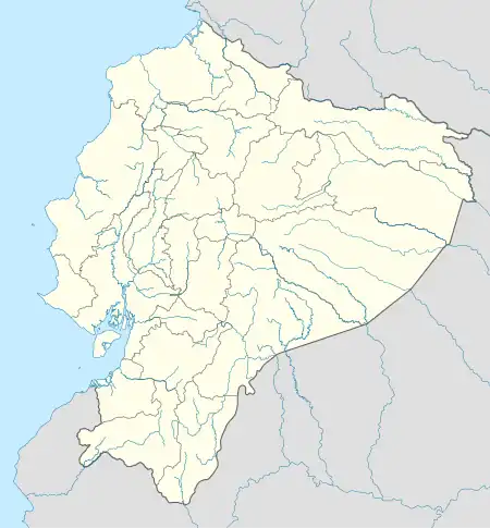
 OCC Location of airport in Ecuador | |||||||||||
| Runways | |||||||||||
| |||||||||||
Francisco de Orellana Airport (IATA: OCC, ICAO: SECO) is an airport serving Puerto Francisco de Orellana (also known as Coca), the capital of Orellana Province in Ecuador. The airport is within the town, running parallel to the Coca River.
Airlines and destinations
| Airlines | Destinations |
|---|---|
| Aeroregional | Quito |
| LATAM Ecuador | Quito[3] |
See also
References
- ↑ Airport information for SECO[usurped]
- ↑ Airport information for Coca at Great Circle Mapper.
- ↑ "LATAM Ecuador inició la venta de pasajes a Coca y Santa Rosa". Retrieved December 29, 2019.
External links
This article is issued from Wikipedia. The text is licensed under Creative Commons - Attribution - Sharealike. Additional terms may apply for the media files.