Fenestrelle | |
|---|---|
| Comune di Fenestrelle | |
 | |
 Coat of arms | |
Location of Fenestrelle | |
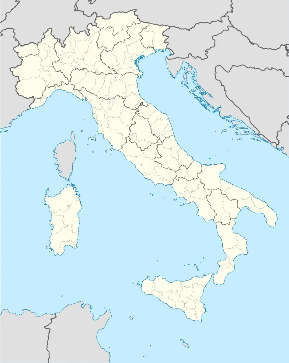 Fenestrelle Location of Fenestrelle in Italy 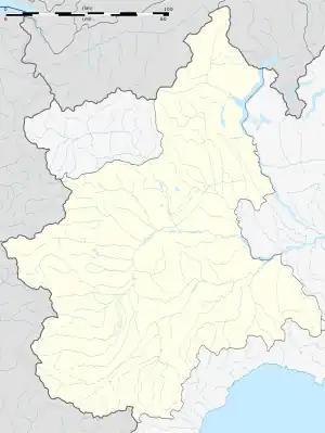 Fenestrelle Fenestrelle (Piedmont) | |
| Coordinates: 45°2′N 7°3′E / 45.033°N 7.050°E | |
| Country | Italy |
| Region | Piedmont |
| Metropolitan city | Turin (TO) |
| Frazioni | Champs, Puy, Pequerel, Chambons, Depot, Mentoulles, Granges, Ville Cloze, La Latta, Fondufaux |
| Government | |
| • Mayor | Michel Bouquet |
| Area | |
| • Total | 49.2 km2 (19.0 sq mi) |
| Elevation | 1,215 m (3,986 ft) |
| Population (30 December 2010)[2] | |
| • Total | 571 |
| • Density | 12/km2 (30/sq mi) |
| Demonym | Fenestrellesi |
| Time zone | UTC+1 (CET) |
| • Summer (DST) | UTC+2 (CEST) |
| Postal code | 10060 |
| Dialing code | 0121 |
| Patron saint | St. Louis IX of France |
| Saint day | 25 August |
| Website | Official website |
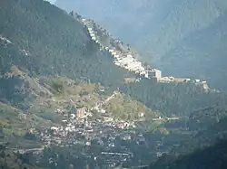
Fenestrelle (Occitan: Finistrèlas, Piedmontese: Fenestrele) is a comune (municipality) in the Metropolitan City of Turin in the Italian region Piedmont, located about 50 kilometres (31 mi) west of Turin.
It is the location of the Fenestrelle Fort, an alpine fortification which guarded the route between the Kingdom of France and the Duchy of Savoy.
References
- ↑ "Superficie di Comuni Province e Regioni italiane al 9 ottobre 2011". Italian National Institute of Statistics. Retrieved 16 March 2019.
- ↑ All demographics and other statistics: Italian statistical institute Istat.
External links
This article is issued from Wikipedia. The text is licensed under Creative Commons - Attribution - Sharealike. Additional terms may apply for the media files.