Esch | |
|---|---|
Village | |
 Sint-Willibrorduskerk church | |
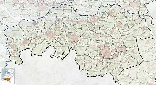
 Esch Location in the province of North Brabant in the Netherlands  Esch Esch (Netherlands) | |
| Coordinates: 51°36′37″N 5°17′26″E / 51.61028°N 5.29056°E | |
| Country | Netherlands |
| Province | North Brabant |
| Municipality | Boxtel |
| Area | |
| • Total | 5.47 km2 (2.11 sq mi) |
| Elevation | 6 m (20 ft) |
| Population (2021)[1] | |
| • Total | 2,145 |
| • Density | 390/km2 (1,000/sq mi) |
| Time zone | UTC+1 (CET) |
| • Summer (DST) | UTC+2 (CEST) |
| Postal code | 5296[1] |
| Dialing code | 0411 |
Esch is a village in the Dutch province of North Brabant. It is located in the municipality of Boxtel.
History
The village was first mentioned in 773 or 774 as Hesc, and probably means "ash (Fraxinus excelsior) forest".[3] Esch is a church village which developed in the Early Middle Ages along the Esserstroom. The Abbey of Echternach had possessions in Esch back in the 8th century.[4]
The tower of the St Willibrordus Church dates from the late-15th century. The church was built between 1926 and 1927 in Byzantine Revival style. The convert Sancta Monica was built in 1895 by the missionary sisters Onze-Lieve-Vrouwe van Afrika (Our Lady of Africa).[4] In 2012, the convent was converted into an apartment building.[5]
Esch was home to 245 people in 1840.[5] Esch was a separate municipality until 1996, when it was merged with Haaren.[6]
Gallery
 Map of 1867
 House in Esch
 Street of Esch
 Houses in Esch
References
- 1 2 3 "Kerncijfers wijken en buurten 2021". Central Bureau of Statistics. Retrieved 15 April 2022.
two entries
- ↑ "Postcodetool for 5296AA". Actueel Hoogtebestand Nederland (in Dutch). Het Waterschapshuis. Retrieved 15 April 2022.
- ↑ "Esch - (geografische naam)". Etymologiebank (in Dutch). Retrieved 15 April 2022.
- 1 2 Chris Kolman & Ronald Stenvert (1997). Esch (in Dutch). Zwolle: Waanders. ISBN 90 400 9945 6. Retrieved 15 April 2022.
- 1 2 "Esch". Plaatsengids (in Dutch). Retrieved 15 April 2022.
- ↑ Ad van der Meer and Onno Boonstra, Repertorium van Nederlandse gemeenten, KNAW, 2011.