| East Pahranagat Range | |
|---|---|
| Highest point | |
| Elevation | 1,918 m (6,293 ft) |
| Geography | |
| Country | United States |
| State | Nevada |
| District | Lincoln County |
| Range coordinates | 37°17′58.860″N 115°13′54.069″W / 37.29968333°N 115.23168583°W |
| Topo map | USGS Alamo |
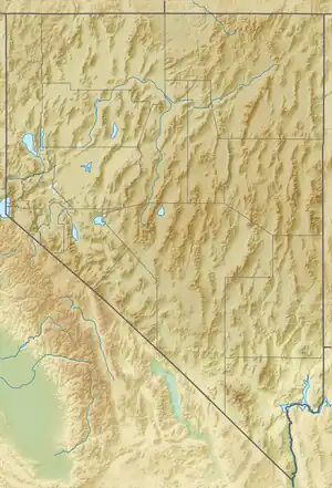
The East Pahranagat Range is a Lincoln County, Nevada, mountain range in the Muddy River Watershed.
References
This article is issued from Wikipedia. The text is licensed under Creative Commons - Attribution - Sharealike. Additional terms may apply for the media files.