Dolní Heřmanice | |
|---|---|
 Centre of Dolní Heřmanice with a chapel | |
 Flag  Coat of arms | |
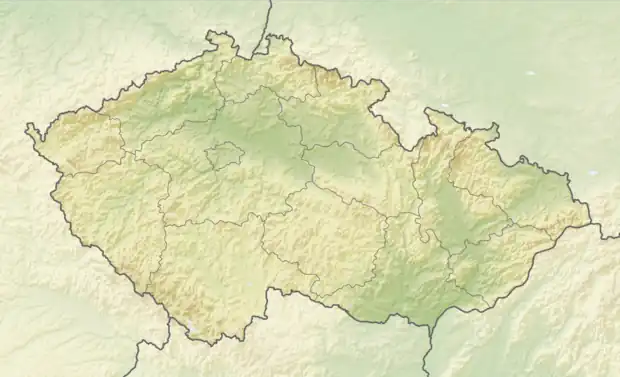 Dolní Heřmanice Location in the Czech Republic | |
| Coordinates: 49°18′17″N 16°3′36″E / 49.30472°N 16.06000°E | |
| Country | |
| Region | Vysočina |
| District | Žďár nad Sázavou |
| First mentioned | 1349 |
| Area | |
| • Total | 14.15 km2 (5.46 sq mi) |
| Elevation | 478 m (1,568 ft) |
| Population (2023-01-01)[1] | |
| • Total | 577 |
| • Density | 41/km2 (110/sq mi) |
| Time zone | UTC+1 (CET) |
| • Summer (DST) | UTC+2 (CEST) |
| Postal code | 594 01 |
| Website | www |
Dolní Heřmanice is a municipality and village in Žďár nad Sázavou District in the Vysočina Region of the Czech Republic. It has about 600 inhabitants.
Dolní Heřmanice lies approximately 30 kilometres (19 mi) south of Žďár nad Sázavou, 35 kilometres (22 mi) east of Jihlava, and 146 kilometres (91 mi) south-east of Prague.
Administrative parts
The village of Oslava is an administrative part of Dolní Heřmanice.
Notable people
- Karel Dufek (1916–2009), diplomat and Spanish Civil War veteran
References
Wikimedia Commons has media related to Dolní Heřmanice.
This article is issued from Wikipedia. The text is licensed under Creative Commons - Attribution - Sharealike. Additional terms may apply for the media files.