Dolní Branná | |
|---|---|
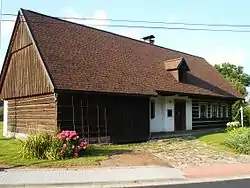 House No. 84, a typical log house | |
 Flag  Coat of arms | |
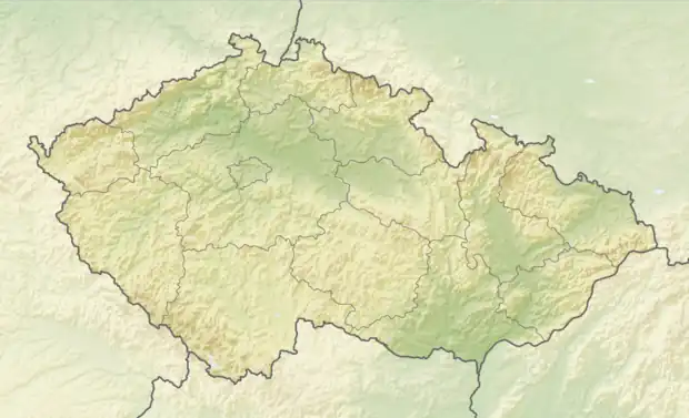 Dolní Branná Location in the Czech Republic | |
| Coordinates: 50°35′40″N 15°35′32″E / 50.59444°N 15.59222°E | |
| Country | |
| Region | Hradec Králové |
| District | Trutnov |
| First mentioned | 1357 |
| Government | |
| • Mayor | Libor Čvančara |
| Area | |
| • Total | 7.91 km2 (3.05 sq mi) |
| Elevation | 428 m (1,404 ft) |
| Population (2023-01-01)[1] | |
| • Total | 1,045 |
| • Density | 130/km2 (340/sq mi) |
| Time zone | UTC+1 (CET) |
| • Summer (DST) | UTC+2 (CEST) |
| Postal code | 543 62 |
| Website | www |
Dolní Branná is a municipality and village in Trutnov District in the Hradec Králové Region of the Czech Republic. It has about 1,000 inhabitants.
References
External links
Wikimedia Commons has media related to Dolní Branná.
This article is issued from Wikipedia. The text is licensed under Creative Commons - Attribution - Sharealike. Additional terms may apply for the media files.