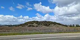
 Deer Island, as viewed from the south in March 2023. | |
 Deer Island 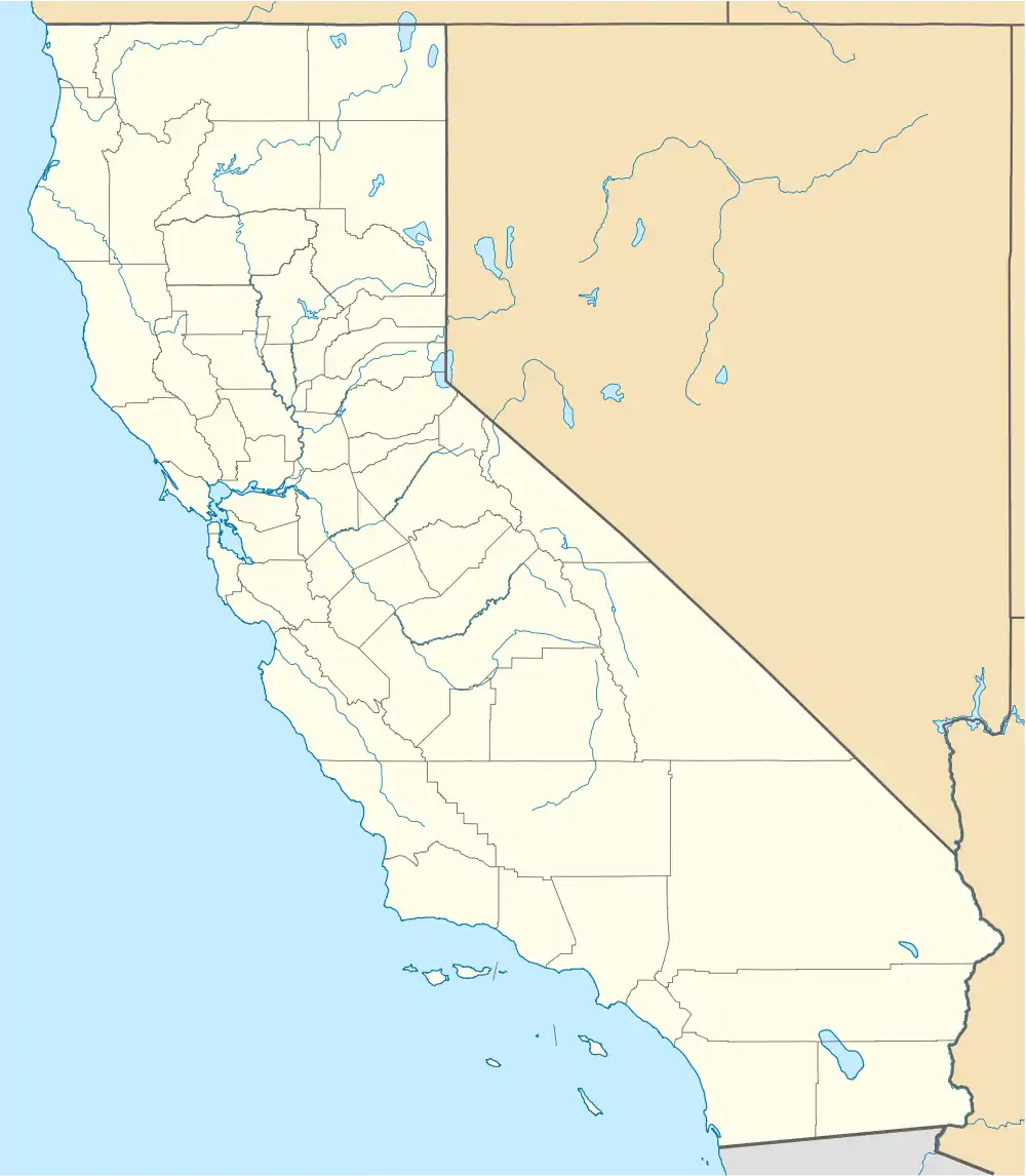 Deer Island  Deer Island | |
| Geography | |
|---|---|
| Location | Northern California |
| Coordinates | 38°05′52″N 122°32′13″W / 38.09778°N 122.53694°W[1] |
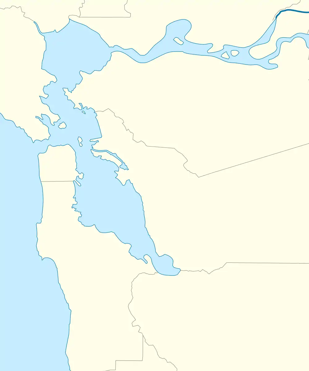
| Adjacent to | Novato Creek |
| Highest elevation | 167 ft (50.9 m)[1] |
| Administration | |
United States | |
| State | |
| County | Marin |

Deer Island in a USGS topographic map from 1954

USGS aerial imagery from 2021
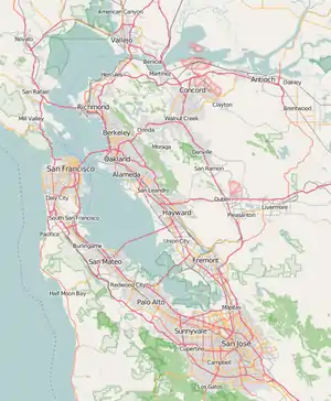
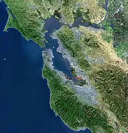
Deer Island is a former island in Marin County, California, close to (and formerly surrounded by wetlands of) the Novato Creek, upstream of San Pablo Bay (an embayment of San Francisco Bay). It is now the location of Deer Island Preserve. It used to be inhabited by Antonio DeBorba, who hiked the nearby wetlands to avoid having to use a boat to get home. The building is still there on the Northeastern part of the island.[2] Deer Island's coordinates are 38°05′52″N 122°32′13″W / 38.09778°N 122.53694°W[1], and its elevation is 167 ft (51 m).[1][3]
References
- 1 2 3 4 U.S. Geological Survey Geographic Names Information System: Deer Island
- ↑ Ungemach, May Rodgers (1989). Novato Township : land grant to World War II (1st ed.). Novato, Calif.: Novato Historical Guild. ISBN 0-9619810-0-8. OCLC 20594154.
- ↑ United States Geological Survey (1954). "Petaluma Quadrangle, California" (Map). United States Department of the Interior Geological Survey. 1:62500.
Map: Islands of the San Francisco Bay Area | |
|---|---|
(islands of Suisun Bay and the Sacramento–San Joaquin River delta) |
This article is issued from Wikipedia. The text is licensed under Creative Commons - Attribution - Sharealike. Additional terms may apply for the media files.