De Weere | |
|---|---|
Hamlet | |
 View on De Weere | |
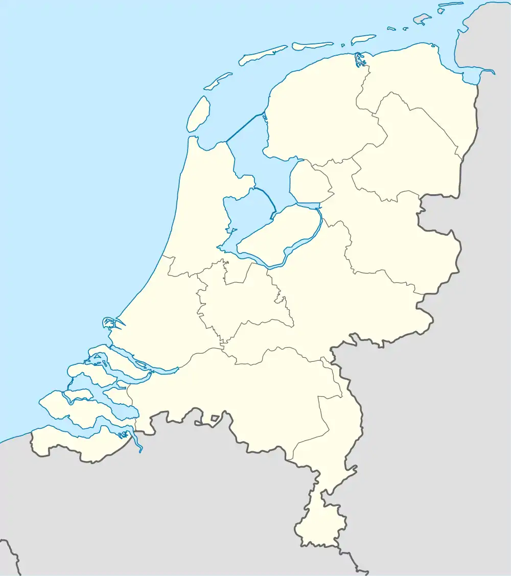 De Weere Location in the Netherlands 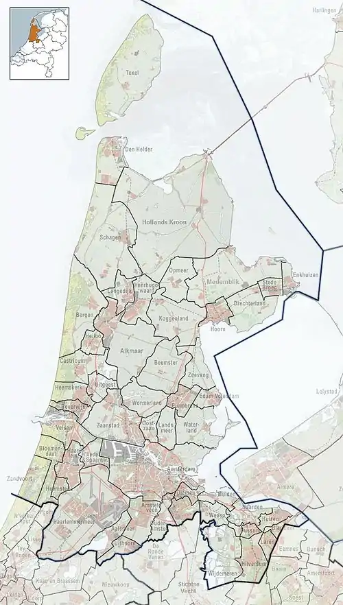 De Weere Location in the province of North Holland in the Netherlands | |
| Coordinates: 52°46′28″N 4°52′1″E / 52.77444°N 4.86694°E | |
| Country | Netherlands |
| Province | North Holland |
| Municipality | Hollands Kroon |
| Time zone | UTC+1 (CET) |
| • Summer (DST) | UTC+2 (CEST) |
| Postal code | 1732[1] |
| Dialing code | 0224[1] |
De Weere (West Frisian: De Weare) is a hamlet in the Dutch province of North Holland. It is a part of the municipality of Hollands Kroon, and lies about 12 km north of Heerhugowaard.
De Weere is not a statistical entity,[2] and the postal authorities have placed it under Lutjewinkel.[1] It has no place name signs, and consists of about 25 houses.[3]
References
- 1 2 3 "Postcode 1732 in Lutjewinkel". Postcode bij adres (in Dutch). Retrieved 30 April 2022.
- ↑ "Kerncijfers wijken en buurten 2021". Central Bureau of Statistics. Retrieved 30 April 2022.
not found
- ↑ "De Weere (Lutjewinkel)". Plaatsengids (in Dutch). Retrieved 30 April 2022.
Wikimedia Commons has media related to De Weere, Hollands Kroon.
This article is issued from Wikipedia. The text is licensed under Creative Commons - Attribution - Sharealike. Additional terms may apply for the media files.