| Dakota Prairie Grasslands | |
|---|---|
  | |
| Location | North Dakota, South Dakota, United States |
| Area | 1,265,217 acres (512,015 ha) |
| Established | 1998 |
| Governing body | U.S. Forest Service |
| Website | Dakota Prairie Grasslands |
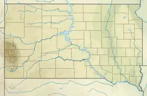
The Dakota Prairie Grasslands (DPG) was formed in 1998. It consists of four U.S. Forest Service Ranger District offices that manage four National Grasslands:
History
All of these ranger districts were formerly part of the Custer National Forest based in Billings, Montana. The Chief of the Forest Service created the DPG as a separate unit to help focus and better manage the issues and resources of the National Grasslands.
The four National Grasslands now have a total area of 1,265,217 acres (512,015 ha).[1]
Administration
The Supervisor's office is located in Bismarck, North Dakota. The Little Missouri National Grassland is administered from offices in Dickinson and Watford City. The Sheyenne National Grassland is administered from the office in Lisbon. The Grand River and Cedar River National Grasslands are administered from the office located in Lemmon, South Dakota.
See also
References
- ↑ Table 6 - NFS Acreage by State, Congressional District and County - United States Forest Service - September 30, 2007
External links
- Dakota Prairie Grasslands - U.S. Forest Service
- List of plant species on the Grand and Cedar River National Grasslands.
- List of bird species on the Grand and Cedar River National Grasslands.