Cogollor | |
|---|---|
 | |
 Cogollor 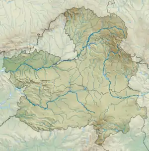 Cogollor 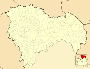 Cogollor | |
| Coordinates: 40°50′57″N 2°44′36″W / 40.84917°N 2.74333°W | |
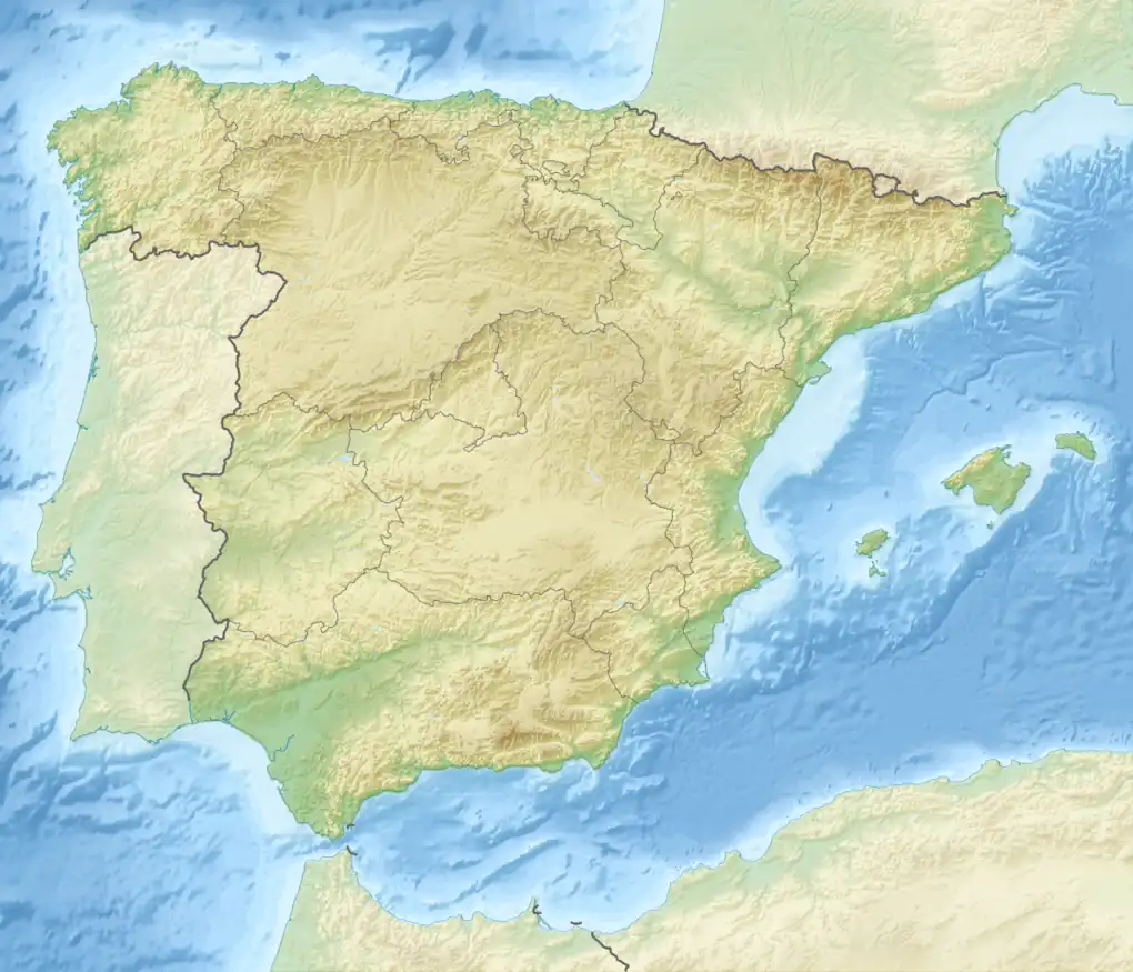
| Country | Spain |
| Autonomous community | Castile-La Mancha |
| Province | Guadalajara |
| Area | |
| • Total | 8.32 km2 (3.21 sq mi) |
| Elevation | 950 m (3,120 ft) |
| Population (2018)[1] | |
| • Total | 30 |
| • Density | 3.6/km2 (9.3/sq mi) |
| Time zone | UTC+1 (CET) |
| • Summer (DST) | UTC+2 (CEST) |
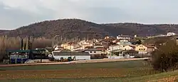
Cogollor is a municipality located in the province of Guadalajara, Castile-La Mancha, Spain.[2] Featuring a total area of 8.32 km, as of 1 January 2019 it has a population of 25 inhabitants.[2] It lies at 950 metres above sea level.[3]
References
- ↑ Municipal Register of Spain 2018. National Statistics Institute.
- 1 2 "Datos del registro de entidades locales". Secretaría de Estado de Administraciones Públicas. Retrieved 25 March 2020.
- ↑ "Cogollor (Guadalajara)". AEMET.
This article is issued from Wikipedia. The text is licensed under Creative Commons - Attribution - Sharealike. Additional terms may apply for the media files.