Chaves Airfield Aeródromo Municipal de Chaves | |||||||||||
|---|---|---|---|---|---|---|---|---|---|---|---|
| Summary | |||||||||||
| Airport type | Public | ||||||||||
| Serves | Chaves | ||||||||||
| Elevation AMSL | 1,181 ft / 360 m | ||||||||||
| Coordinates | 41°43′20″N 7°27′50″W / 41.72222°N 7.46389°W | ||||||||||
| Map | |||||||||||
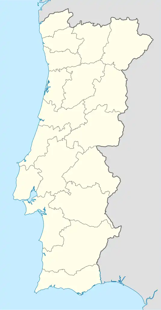
 Chaves | |||||||||||
| Runways | |||||||||||
| |||||||||||
Source: Google Maps[1] | |||||||||||
Chaves Airfield (IATA: CHV, ICAO: LPCH) is a recreational aerodrome serving Chaves in northern Portugal. There is no commercial air transport.
See also
References
External links
This article is issued from Wikipedia. The text is licensed under Creative Commons - Attribution - Sharealike. Additional terms may apply for the media files.