Chapman Aerodrome | |||||||||||
|---|---|---|---|---|---|---|---|---|---|---|---|
 | |||||||||||
| Summary | |||||||||||
| Airport type | Public | ||||||||||
| Operator | Government of Yukon | ||||||||||
| Location | Chapman Lake, Yukon | ||||||||||
| Time zone | MST (UTC−07:00) | ||||||||||
| Elevation AMSL | 3,110 ft / 948 m | ||||||||||
| Coordinates | 64°54′13″N 138°16′39″W / 64.90361°N 138.27750°W | ||||||||||
| Map | |||||||||||
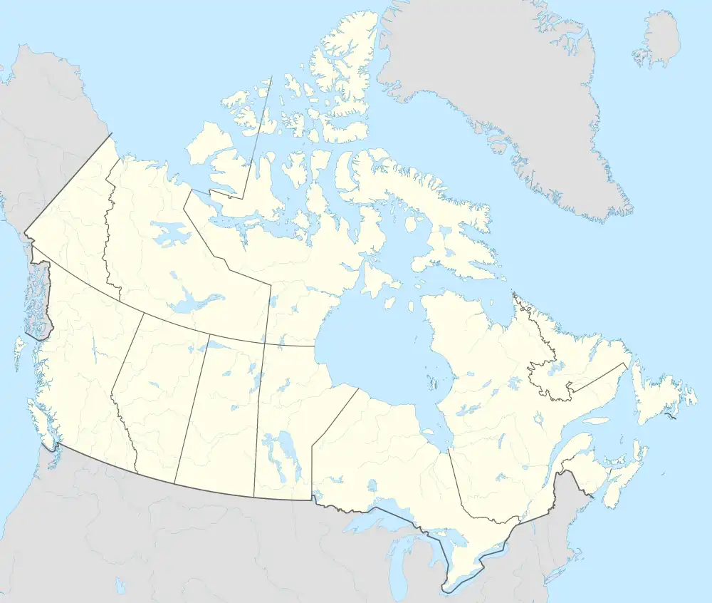 CEZ2 Location in Yukon | |||||||||||
| Runways | |||||||||||
| |||||||||||
Source: Canada Flight Supplement[1] | |||||||||||
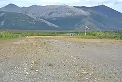
Chapman Aerodrome (IATA: EZ2, TC LID: CEZ2) is a registered aerodrome located on the shores of the Blackstone River in the Yukon, Canada.
References
External links
- Page about this airport on COPA's Places to Fly airport directory
| By name | |
|---|---|
| By location indicator | |
| By province/territory | |
| By area | |
| National Airports System | |
| Related | |
| |
This article is issued from Wikipedia. The text is licensed under Creative Commons - Attribution - Sharealike. Additional terms may apply for the media files.