| Chüpfenflue | |
|---|---|
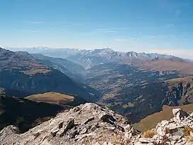 View from the summit | |
| Highest point | |
| Elevation | 2,658 m (8,720 ft) |
| Prominence | 249 m (817 ft)[1] |
| Parent peak | Aroser Rothorn |
| Isolation | 2.143 km (1.332 mi) |
| Coordinates | 46°48′26.4″N 9°46′33.9″E / 46.807333°N 9.776083°E |
| Geography | |
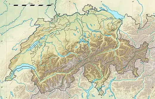 Chüpfenflue Location in Switzerland | |
| Location | Graubünden, Switzerland |
| Parent range | Plessur Alps |
The Chüpfenflue is a mountain of the Plessur Alps, located between Langwies and Davos in the Swiss canton of Graubünden.
References
External links
Wikimedia Commons has media related to Chüpfenflue.
This article is issued from Wikipedia. The text is licensed under Creative Commons - Attribution - Sharealike. Additional terms may apply for the media files.