Ceres, Washington | |
|---|---|
 Ceres  Ceres | |
| Coordinates: 46°36′28″N 123°09′12″W / 46.60778°N 123.15333°W | |
| Country | United States |
| State | Washington |
| County | Lewis |
| Elevation | [1]240 ft (73 m) |
| Time zone | UTC-8 (Pacific (PST)) |
| • Summer (DST) | UTC-7 (PDT) |
| ZIP code | 98532 |
| Area code | 360 |
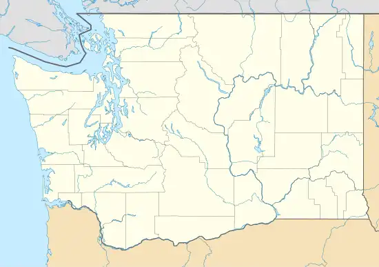
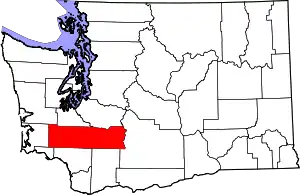
Ceres is an unincorporated community in Lewis County, in the U.S. state of Washington.[2] It is located off Washington State Route 6 in a bend of the Chehalis River. The Willapa Hills Trail bisects the area.[3]
History
A post office called Ceres was established in 1908, and remained in operation until 1931.[4] The community was named by the Northern Pacific Railroad after Ceres, the Roman goddess of agriculture.[5][6]
References
- ↑ U.S. Geological Survey Geographic Names Information System: Ceres, Washington
- ↑ U.S. Geological Survey Geographic Names Information System: Ceres, Washington
- ↑ "Willapa Hills State Park Trail". parks.state.wa.us. Washington State Parks.
- ↑ "Post Offices". Jim Forte Postal History. Archived from the original on March 6, 2016. Retrieved July 22, 2016.
- ↑ Meany, Edmond S. (1923). Origin of Washington geographic names. Seattle: University of Washington Press. p. 42.
- ↑ "Lewis County Towns - Ceres". jtenlen.drizzlehosting.com. Lewis Co. WA GenWeb Project.
This article is issued from Wikipedia. The text is licensed under Creative Commons - Attribution - Sharealike. Additional terms may apply for the media files.
