Canet-de-Salars | |
|---|---|
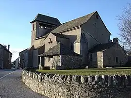 The church in Canet-de-Salars | |
Location of Canet-de-Salars | |
 Canet-de-Salars 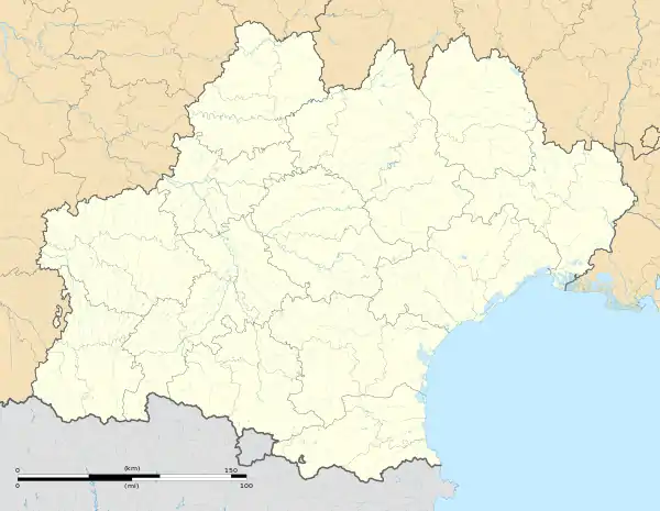 Canet-de-Salars | |
| Coordinates: 44°14′11″N 2°45′18″E / 44.2364°N 2.755°E | |
| Country | France |
| Region | Occitania |
| Department | Aveyron |
| Arrondissement | Millau |
| Canton | Raspes et Lévezou |
| Intercommunality | Lévézou Pareloup |
| Government | |
| • Mayor (2020–2026) | Francis Bertrand[1] |
| Area 1 | 29.97 km2 (11.57 sq mi) |
| Population | 448 |
| • Density | 15/km2 (39/sq mi) |
| Time zone | UTC+01:00 (CET) |
| • Summer (DST) | UTC+02:00 (CEST) |
| INSEE/Postal code | 12050 /12290 |
| Elevation | 713–870 m (2,339–2,854 ft) (avg. 850 m or 2,790 ft) |
| 1 French Land Register data, which excludes lakes, ponds, glaciers > 1 km2 (0.386 sq mi or 247 acres) and river estuaries. | |
Canet-de-Salars (French pronunciation: [kanɛ də salaʁ]; Occitan: Canet) is a commune in the Aveyron department in southern France.
Population
| Year | Pop. | ±% |
|---|---|---|
| 1962 | 419 | — |
| 1968 | 510 | +21.7% |
| 1975 | 485 | −4.9% |
| 1982 | 440 | −9.3% |
| 1990 | 440 | +0.0% |
| 1999 | 379 | −13.9% |
| 2008 | 410 | +8.2% |
See also
References
- ↑ "Répertoire national des élus: les maires" (in French). data.gouv.fr, Plateforme ouverte des données publiques françaises. 13 September 2022.
- ↑ "Populations légales 2021". The National Institute of Statistics and Economic Studies. 28 December 2023.
Wikimedia Commons has media related to Canet-de-Salars.
This article is issued from Wikipedia. The text is licensed under Creative Commons - Attribution - Sharealike. Additional terms may apply for the media files.