| Belton-in-Rutland | |
|---|---|
 | |
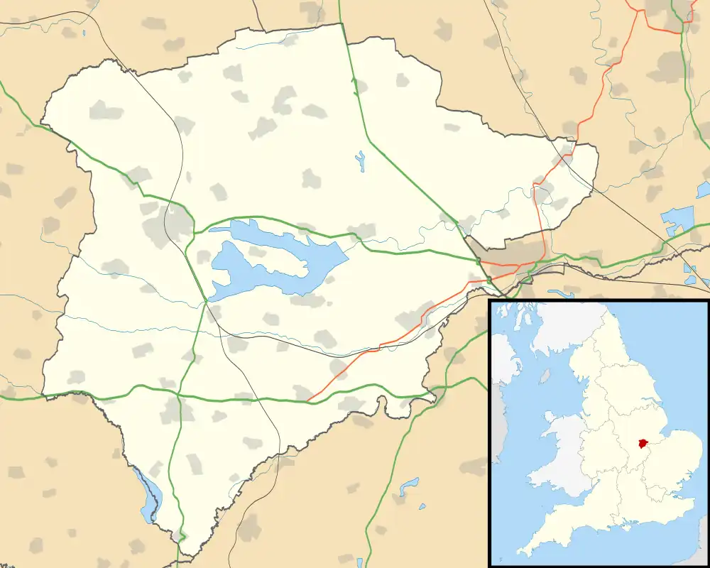
 Belton-in-Rutland Location within Rutland | |
| Area | 1.6 sq mi (4.1 km2) [1] |
| Population | 335 2001 Census[2] |
| • Density | 209/sq mi (81/km2) |
| OS grid reference | SK816014 |
| • London | 82 miles (132 km) SSE |
| Unitary authority | |
| Shire county | |
| Ceremonial county | |
| Region | |
| Country | England |
| Sovereign state | United Kingdom |
| Post town | OAKHAM |
| Postcode district | LE15 |
| Dialling code | 01572 |
| Police | Leicestershire |
| Fire | Leicestershire |
| Ambulance | East Midlands |
| UK Parliament | |
Belton-in-Rutland is a village and civil parish in the county of Rutland in the East Midlands of England. The population at the 2001 census was 345 increasing to 348 at the 2011 census.[3] It is situated about six miles (9.6 km) southwest of Oakham and about four miles (6.4 km) west of Uppingham and overlooks the A47. The Eye Brook forms the county boundary with Leicestershire.
The village's name probably means 'farm/settlement near a beacon or funeral pyre'. Then again, 'Bel' may likewise address a component signifying 'island' or 'glade'.[4] Belton was renamed Belton-in-Rutland in 1982 to distinguish the village from Belton in Leicestershire.

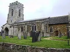
St Peter's Church is a Grade II* listed building.[5]
The village has one public house, The Sun Inn.
Belton is part of Braunston & Belton ward which has one councillor on Rutland County Council.
References
- ↑ "A vision of Britain through time". University of Portsmouth. Retrieved 30 January 2009.
- ↑ "Rutland Civil Parish Populations" (PDF). Rutland County Council. 2001. Archived from the original (PDF) on 12 October 2007. Retrieved 30 January 2009.
- ↑ "Civil Parish population 2011". Neighbourhood Statistics. Office for National Statistics. Archived from the original on 11 October 2016. Retrieved 24 June 2016.
- ↑ "Key to English Place-names".
- ↑ Historic England. "Church of St Peter (Grade II*) (1214903)". National Heritage List for England.
External links