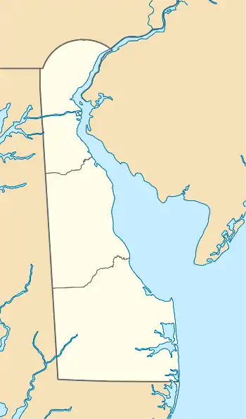
Banning, Delaware | |
|---|---|
 Banning  Banning | |
| Coordinates: 38°48′22″N 75°30′59″W / 38.806196°N 75.516334°W | |
| Country | United States |
| State | Delaware |
| County | Sussex |
| Time zone | UTC-5 (Eastern (EST)) |
| • Summer (DST) | UTC-4 (EDT) |
| ZIP code | 19941 |
| Area code | 302 |
Banning, Delaware, USA was a stop in Cedar Creek Hundred on the now defunct Queen Anne's Railroad line between Ellendale and Greenwood positioned at the NE corner of what now is Road 44/Blacksmith Shop Road[1] and Delaware Route 16/Beach Highway. After the railroad closed down and the tracks were removed, all Banning, Delaware property owned by the railroad was returned to Mark L. Banning, its previous landowner. A small town built around the Banning, Delaware stop disappeared.
References
- ↑
Delaware (1895). Laws of the State of Delaware, Volume 20. Vol. 20. Delaware General Assembly. p. 536. Retrieved February 13, 2011.
... appoint three judicious and impartial citizens of road- Sussex county, be and they are hereby appointed commissioners to go upon and view the lands and determine whether there is need of a public road in Cedar Creek Hundred, county and State aforesaid, beginning in the public road leading from Bridgeville to Milford, on lands of Mark L. Banning, a short distance to the westward of said Banning's dwelling house; thence in a northerly direction through said Banning's land to lands of John R. Hemmonds and Mary P. Hemmon...
This led to the development of Blacksmith Shop Rd.
This article is issued from Wikipedia. The text is licensed under Creative Commons - Attribution - Sharealike. Additional terms may apply for the media files.