| Auve | |
|---|---|
  | |
| Location | |
| Country | France |
| Physical characteristics | |
| Source | |
| • location | Auve |
| • coordinates | 49°02′05″N 4°40′38″E / 49.0346°N 4.6773°E |
| Mouth | Aisne |
• location | Sainte-Menehould |
• coordinates | 49°05′22″N 4°53′33″E / 49.08944°N 4.89255°E |
| Length | 20.2 kilometres (12.6 mi) |
| Basin features | |
| Progression | Aisne→ Oise→ Seine→ English Channel |
| Tributaries | |
| • left | Presle, Grand Ruisseau |
| • right | Yèvre, Ruisseau de l'Étang |
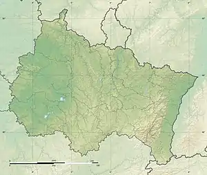
The Auve is a river of the Marne department in the Grand Est region of France. It is 20.2 kilometres (12.6 mi) long.[1] It has its source at Auve and flows through Saint-Mard-sur-Auve, La Chapelle-Felcourt, Gizaucourt, Voilemont, Dommartin-Dampierre, Argers, Chaudefontaine and Sainte-Menehould, where it meets the Aisne.[1]
References
This article is issued from Wikipedia. The text is licensed under Creative Commons - Attribution - Sharealike. Additional terms may apply for the media files.