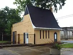
Automobile Alley Historic District | |
 | |
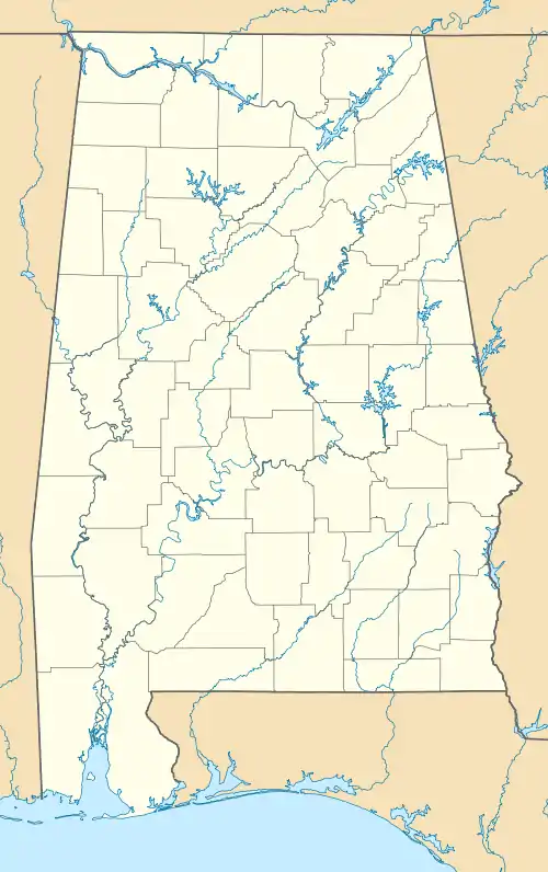  | |
| Location | Mobile, Alabama |
|---|---|
| Coordinates | 30°41′34″N 88°03′01″W / 30.69278°N 88.05028°W |
| Area | 30 acres (12 ha) |
| NRHP reference No. | 16000400[1] (original) 100009107 (increase) |
| Significant dates | |
| Added to NRHP | June 22, 2016 |
| Boundary increase | June 27, 2023 |
The Automobile Alley Historic District in Mobile, Alabama is a 30 acres (12 ha) historic district which was listed on the National Register of Historic Places in 2016.[1]
When first listed, it included 156-157 N. Cedar, 108 N. Dearborn, 100-101 N. Franklin, 156 N. Hamilton, 163 N. Lawrence, 453-701 St. Anthony Sts. in Mobile.[2] The district was enlarged in 2023.
References
- 1 2 "Automobile Alley Historic District". National Park Service. Retrieved July 25, 2018.
- ↑ Shaun Wilson (February 5, 2016). "National Register of Historic Places Registration: Automobile Alley Historic District" (PDF). National Park Service. Retrieved July 25, 2018. With accompanying pictures
External links
 Media related to Automobile Alley Historic District at Wikimedia Commons
This article is issued from Wikipedia. The text is licensed under Creative Commons - Attribution - Sharealike. Additional terms may apply for the media files.
