Amtala | |
|---|---|
Village | |
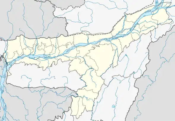 Amtala Location in Assam, India 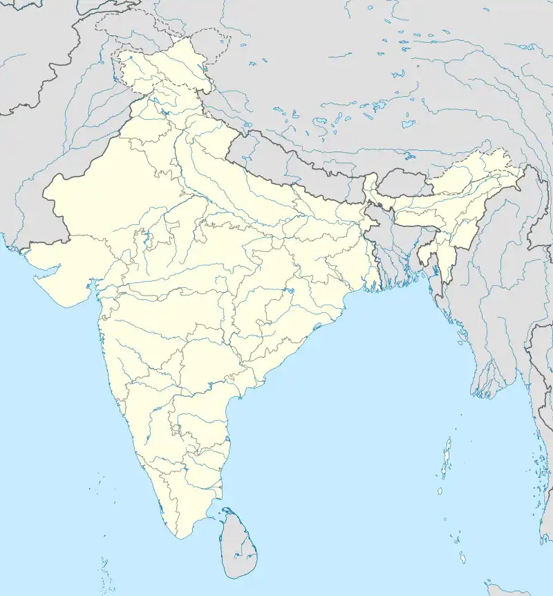 Amtala Amtala (India) | |
| Coordinates: 26°06′N 91°23′E / 26.10°N 91.39°E | |
| Country | |
| State | Assam |
| Region | Western Assam |
| District | Kamrup |
| Government | |
| • Body | Gram panchayat |
| Elevation | 51 m (167 ft) |
| Languages | |
| • Official | Assamese |
| Time zone | UTC+5:30 (IST) |
| PIN | 781134 [1] |
| Vehicle registration | AS |
| Website | kamrup |
Amtala is a village in Kamrup district, situated in the south bank of the river Brahmaputra.
Transport
The village is near National Highway 17 (India) and connected to nearby towns and cities like Bijoynagar, Chaygaon and Guwahati with regular buses and other modes of transportation.
See also
References
- ↑ "Amtala". indiapincodes.net. Archived from the original on 14 November 2021. Retrieved 10 May 2017.
This article is issued from Wikipedia. The text is licensed under Creative Commons - Attribution - Sharealike. Additional terms may apply for the media files.