Ambalabe, Vatomandry | |
|---|---|
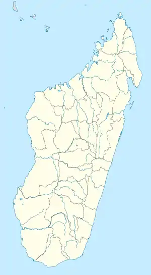 Ambalabe, Vatomandry Location in Madagascar | |
| Coordinates: 19°13′6″S 48°38′06″E / 19.21833°S 48.63500°E | |
| Country | |
| Region | Atsinanana |
| District | Vatomandry (district) |
| Area | |
| • Total | 174.37 km2 (67.32 sq mi) |
| Elevation | 350 m (1,150 ft) |
| Population (2019)Census | |
| • Total | 6,388 |
| Time zone | UTC3 (EAT) |
Ambalabe is a rural municipality located in the Atsinanana region of eastern Madagascar, and belongs to the Vatomandry (district).[1]
Economy
The economy is based on agriculture, including coffee and cacao but also rice, maize and manioc.
References
- ↑ "ES SOLS DE LA STATION AGRONOMIQUE D'ILAKA" (PDF). Horizon.documentation.ird.fr. Retrieved 9 March 2022.
Capital: Toamasina | ||
| Antanambao Manampotsy - 507 | 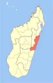 | |
| Mahanoro - 510 | ||
| Marolambo - 513 | ||
| Toamasina I - 501 | ||
| Toamasina II - 502 | ||
| Vatomandry - 517 | ||
| Vohabinany (Brickaville) - 508 | ||
7 districts; 75 communes | ||
This article is issued from Wikipedia. The text is licensed under Creative Commons - Attribution - Sharealike. Additional terms may apply for the media files.