Agago | |
|---|---|
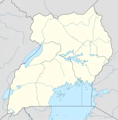 Agago Map of Uganda showing the location of Agago. | |
| Coordinates: 02°59′05″N 33°19′50″E / 2.98472°N 33.33056°E | |
| Country | |
| Region | Northern Region |
| Sub-region | Acholi sub-region |
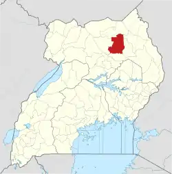
| District | Agago District |
| Elevation | 1,080 m (3,540 ft) |
| Time zone | UTC+3 (EAT) |
Agago is a town in the Northern Region of Uganda. It is the chief political, administrative, and commercial center of the Agago District.
Location
Agago is approximately 90 kilometres (56 mi), by road, south-east of Kitgum, the nearest large town.[1] This is approximately 137 kilometres (85 mi), by road, east of Gulu, the largest city in the Acholi sub-region.[2] The geographic coordinates of the town are 2°59'05.0"N, 33°19'50.0"E (Latitude:2.9847; Longitude:33.3306).[3]
Population
In 2015, the projected population of the town was 6,100. In 2020, the mid-year population was projected at 6,700. It was calculated that the population of Agago Municipality grew at an average annual rate of 1.9 percent, between 2015 and 2020.[4]
| Year | Pop. | ±% |
|---|---|---|
| 2015 | 6,100 | — |
| 2020 | 6,700 | +9.8% |
| source:[4] | ||
Points of interest
The following points of interest lie within the town limits or close to the edges of town:[3] (a) the offices of Agago Town Council (b) Agago central market and (c) the Kalongo-Patongo road, passing to the immediate east of town in a north–south direction.
See also
References
- ↑ Google (31 July 2022). "Road Distance Between Agago, Uganda And Kitgum, Uganda" (Map). Google Maps. Google. Retrieved 31 July 2022.
- ↑ Google (31 July 2022). "Road Distance Between Agago, Uganda And Gulu, Uganda" (Map). Google Maps. Google. Retrieved 31 July 2022.
- 1 2 Google (31 July 2022). "Location of Agago, Uganda" (Map). Google Maps. Google. Retrieved 31 July 2022.
- 1 2 Citypopulation.de (14 June 2020). "The population development of Agago Town as well as related information and services" (Cityppulation.de Quoting Uganda Bureau of Statistics). Citypopulation.de. Retrieved 31 July 2022.
External links
- Agago Sleeps With Dusk Archived 2015-07-17 at the Wayback Machine
- Map of Agago And Vicinity At Mapcarta.com
02°59′05″N 33°19′50″E / 2.98472°N 33.33056°E
Capital: Agago | ||
| Counties and sub-counties |
|  |
| Towns and villages | ||
| Economy | ||
| Notable landmarks |
| |
| Energy | ||
| Education |
| |
| Notable people | ||