Svatý Jan | |
|---|---|
 Centre of Svatý Jan | |
 Flag  Coat of arms | |
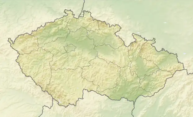 Svatý Jan Location in the Czech Republic | |
| Coordinates: 49°38′13″N 14°18′40″E / 49.63694°N 14.31111°E | |
| Country | |
| Region | Central Bohemian |
| District | Příbram |
| Founded | 1720 |
| Area | |
| • Total | 21.63 km2 (8.35 sq mi) |
| Elevation | 409 m (1,342 ft) |
| Population (2023-01-01)[1] | |
| • Total | 675 |
| • Density | 31/km2 (81/sq mi) |
| Time zone | UTC+1 (CET) |
| • Summer (DST) | UTC+2 (CEST) |
| Postal codes | 262 56, 262 63 |
| Website | www |
Svatý Jan is a municipality and village in Příbram District in the Central Bohemian Region of the Czech Republic. It has about 700 inhabitants.
Administrative parts
Villages of Bražná, Brzina, Drážkov, Hojšín, Hrachov, Řadovy and Skrýšov are administrative parts of Svatý Jan.
References
Wikimedia Commons has media related to Svatý Jan.
This article is issued from Wikipedia. The text is licensed under Creative Commons - Attribution - Sharealike. Additional terms may apply for the media files.