| Seehamer See | |
|---|---|
.jpg.webp) | |
 Seehamer See | |
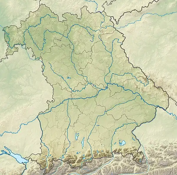
| Location | Alpine foothills, Bavaria |
| Coordinates | 47°51′0″N 11°51′22″E / 47.85000°N 11.85611°E |
| Primary inflows | Mangfall, Schlierach, Leitzach (artificial) |
| Primary outflows | Moosbach |
| Basin countries | Germany |
| Surface area | 1.47 km2 (0.57 sq mi) |
| Max. depth | 22 m (72 ft) |
| Surface elevation | 653 m (2,142 ft) |
Seehamer See is a lake in the Alpine foothills, Bavaria, Germany. At an elevation of 653 m, its surface area is 1.47 km2.
See also
This article is issued from Wikipedia. The text is licensed under Creative Commons - Attribution - Sharealike. Additional terms may apply for the media files.