Roßtal | |
|---|---|
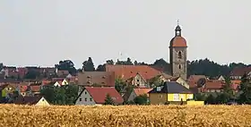
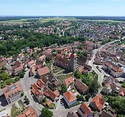 Town center of Roßtal with the Church of Saint Lawrence | |
 Coat of arms | |
Location of Roßtal within Fürth district 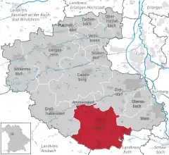 | |
 Roßtal 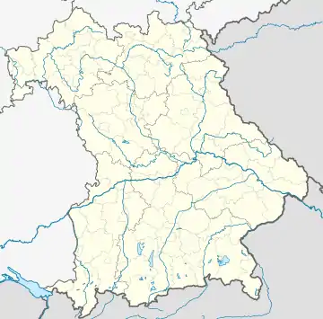 Roßtal | |
| Coordinates: 49°24′N 10°53′E / 49.400°N 10.883°E | |
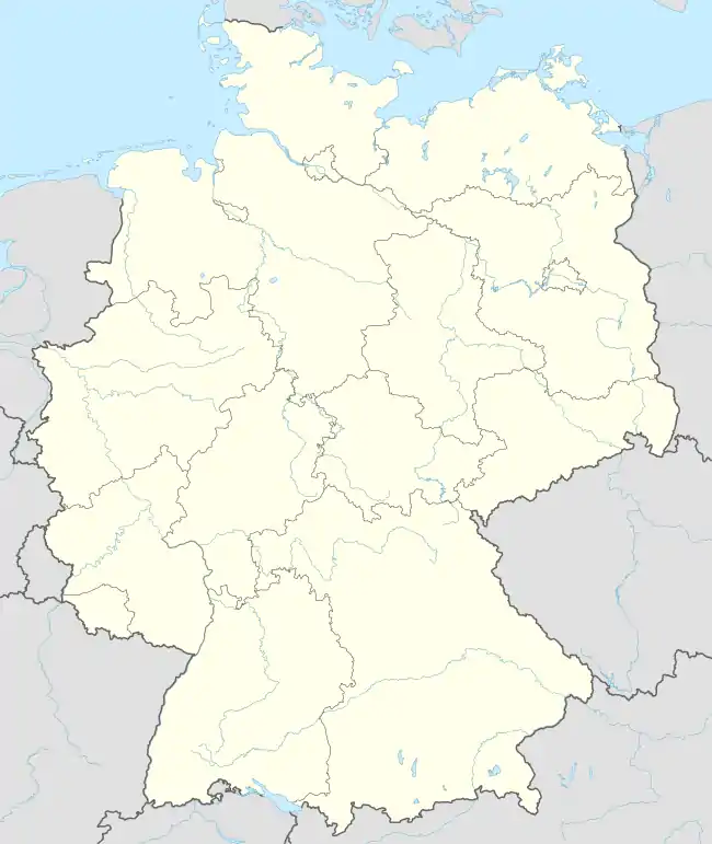
| Country | Germany |
| State | Bavaria |
| Admin. region | Mittelfranken |
| District | Fürth |
| Subdivisions | 17 Ortsteile |
| Government | |
| • Mayor (2020–26) | Rainer Gegner[1] (SPD) |
| Area | |
| • Total | 44.40 km2 (17.14 sq mi) |
| Elevation | 373 m (1,224 ft) |
| Population (2022-12-31)[2] | |
| • Total | 10,083 |
| • Density | 230/km2 (590/sq mi) |
| Time zone | UTC+01:00 (CET) |
| • Summer (DST) | UTC+02:00 (CEST) |
| Postal codes | 90574 |
| Dialling codes | 09127 |
| Vehicle registration | FÜ |
| Website | www |
St. Lawrence Church in Roßtal
Roßtal is a market town in the district of Fürth, Bavaria, Germany. As of 2020 it had a population of 10,127. It has a primary school and a secondary school. The church is named St. Laurentius and was built from 1025 to 1042.
Surrounded by beautiful forests, made accessible via many hiking and biking trails, Roßtal is a place for those who love nature and the outdoors. Roßtal has easy trainklinks to Nuremberg and Ansbach which runs 3 times an hour.
References
- ↑ Liste der ersten Bürgermeister/Oberbürgermeister in kreisangehörigen Gemeinden, Bayerisches Landesamt für Statistik, 15 July 2021.
- ↑ Genesis Online-Datenbank des Bayerischen Landesamtes für Statistik Tabelle 12411-003r Fortschreibung des Bevölkerungsstandes: Gemeinden, Stichtag (Einwohnerzahlen auf Grundlage des Zensus 2011)
External links
Wikimedia Commons has media related to Roßtal.
Official website (in German)
Towns and municipalities in Fürth (district) | ||
|---|---|---|
This article is issued from Wikipedia. The text is licensed under Creative Commons - Attribution - Sharealike. Additional terms may apply for the media files.