
Crimea Lane running along the western edge of Moorside Edge
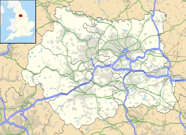
The Moorside Edge is a steeply sloping area of moorland at grid reference SE070154 just north of Slaithwaite and about 5 miles (8 km) west of Huddersfield in the Kirklees District of West Yorkshire, England. It descents from the relatively flat summit of Pole Moor into the valley of the River Colne.
Just above the edge itself is the Moorside Edge transmitting station.
53°38′06″N 1°53′44″W / 53.63508°N 1.89561°W
This article is issued from Wikipedia. The text is licensed under Creative Commons - Attribution - Sharealike. Additional terms may apply for the media files.