Königsborn | |
|---|---|
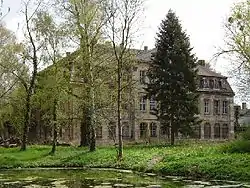 Ruins of the Neu Königsborner Schloss | |
 Coat of arms | |
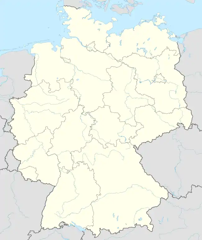
Location of Königsborn | |
 Königsborn 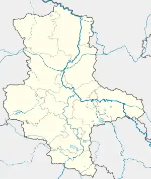 Königsborn | |
| Coordinates: 52°8′N 11°46′E / 52.133°N 11.767°E | |
| Country | Germany |
| State | Saxony-Anhalt |
| District | Jerichower Land |
| Municipality | Biederitz |
| Subdivisions | Alt- and Neu Königsborn |
| Area | |
| • Total | 5.31 km2 (2.05 sq mi) |
| Elevation | 49 m (161 ft) |
| Population (2006-12-31) | |
| • Total | 602 |
| • Density | 110/km2 (290/sq mi) |
| Time zone | UTC+01:00 (CET) |
| • Summer (DST) | UTC+02:00 (CEST) |
| Postal codes | 39175 |
| Dialling codes | 039292 |
Königsborn is a village and a former municipality in the Jerichower Land district, in Saxony-Anhalt, Germany. Since 1 January 2010, it is part of the municipality Biederitz.
It is a spa near Magdeburg, Germany, immediately to the North of the town of Gerwisch, of which it practically forms a suburb.
References
- . Encyclopædia Britannica (11th ed.). 1911.
Wikimedia Commons has media related to Königsborn.
This article is issued from Wikipedia. The text is licensed under Creative Commons - Attribution - Sharealike. Additional terms may apply for the media files.