Jeolikote | |
|---|---|
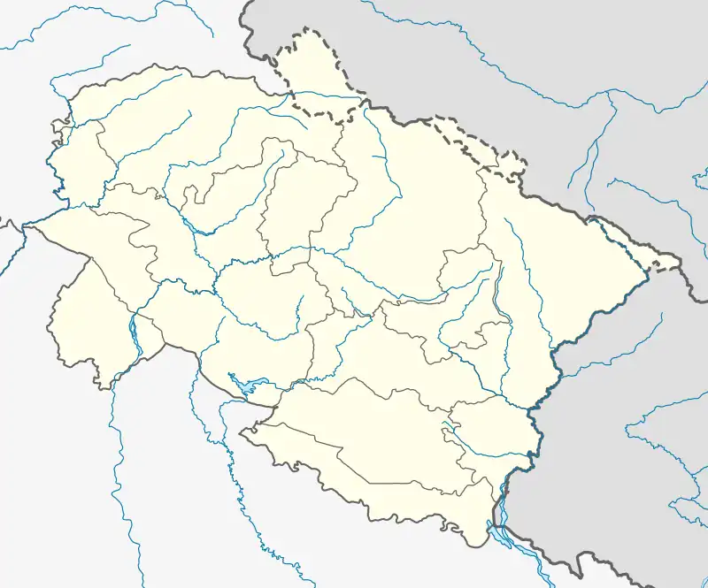 Jeolikote Location in Uttarakhand, India 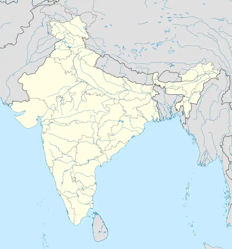 Jeolikote Jeolikote (India) | |
| Coordinates: 29°20′0″N 79°20′0″E / 29.33333°N 79.33333°E | |
| Country | |
| State | Uttarakhand |
| District | Nainital |
| Elevation | 1,219 m (3,999 ft) |
| Pin Code | 263127 |
| Language | Kumaoni, Hindi, English |
Jeolikote is a hill station in the Nainital district of the state of Uttarakhand, India. Jeolikote is situated at an altitude of 1,219 meters. It is also known as the Gateway to Naini Lake. It is an ideal place for those who are interested in floral culture and butterfly catching.
It acts as a pit stop for not only the tourists en route to Nainital, but also for the daily commuters who travel back and forth between Haldwani and Nainital. In the pre-independence era, it used to bea halt point for the British to acclimatize before moving to the summer capital Nainital. This place is very fertile for vegetables and fruit. There are many old British structures in Jeolikot.
References
External links
https://uttarakhandtourism.gov.in/destination/jeolikot/
This article is issued from Wikipedia. The text is licensed under Creative Commons - Attribution - Sharealike. Additional terms may apply for the media files.