| Chain O'Lakes State Park | |
|---|---|
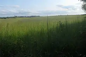 Prairie in Chain O'Lakes State Park, August 2017 | |
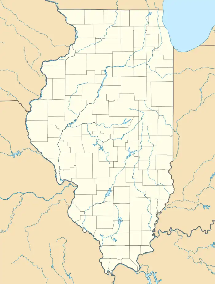 Map of the U.S. state of Illinois showing the location of Chain O'Lakes State Park  Chain O'Lakes State Park (Illinois) (the United States) | |
| Location | Lake and McHenry counties, Illinois, United States |
| Nearest city | Spring Grove, Illinois |
| Coordinates | 42°27′32″N 88°10′27″W / 42.45889°N 88.17417°W |
| Area | 2,793 acres (1,130 ha) |
| Established | 1945 |
| Governing body | Illinois Department of Natural Resources |
_(4160749653).jpg.webp)
Juvenile Red-tailed Hawk at Chain O'Lakes State Park (Illinois)
Chain O'Lakes State Park is a 2,793-acre (1,130 ha) Illinois state park at the inlet of the Fox River into the Chain O'Lakes in Lake and McHenry counties, in the suburban wildlife of Chicago, Illinois, United States.
It is one of the centerpieces of the proposed Hackmatack National Wildlife Refuge.
External links
- "Chain O'Lakes State Park". Illinois Department of Natural Resources. Archived from the original on August 15, 2009. Retrieved July 6, 2018.
- USGS. "Chain O'Lakes State Park, USGS Fox Lake (IL, WI) Quad". TopoQuest. Retrieved July 5, 2008.
This article is issued from Wikipedia. The text is licensed under Creative Commons - Attribution - Sharealike. Additional terms may apply for the media files.