| Ebnefluh | |
|---|---|
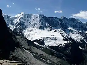 The Ebnefluh (left-centre) from the north | |
| Highest point | |
| Elevation | 3,962 m (12,999 ft) |
| Prominence | 198 m (650 ft)[1] |
| Parent peak | Gletscherhorn |
| Isolation | 1.2 km (0.75 mi) |
| Coordinates | 46°30′29″N 7°57′11″E / 46.50806°N 7.95306°E |
| Geography | |
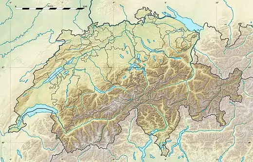 Ebnefluh Location in Switzerland | |
| Location | Bern/Valais, Switzerland |
| Parent range | Bernese Alps |
| Climbing | |
| Easiest route | From Hollandia Hut |
The Ebnefluh, also known as the Äbeni Flue and the Ebenefluh, (3,962 m) is a mountain of the Bernese Alps, located on the border between the Swiss cantons of Bern and Valais. It lies towards the eastern end of the Lauterbrunnen Wall.
References
External links
Wikimedia Commons has media related to Ebnefluh.
This article is issued from Wikipedia. The text is licensed under Creative Commons - Attribution - Sharealike. Additional terms may apply for the media files.